GIS & Maps
The Box Elder County GIS Office is part of the Surveyor's Department located on the bottom floor in the Historic County Court House.
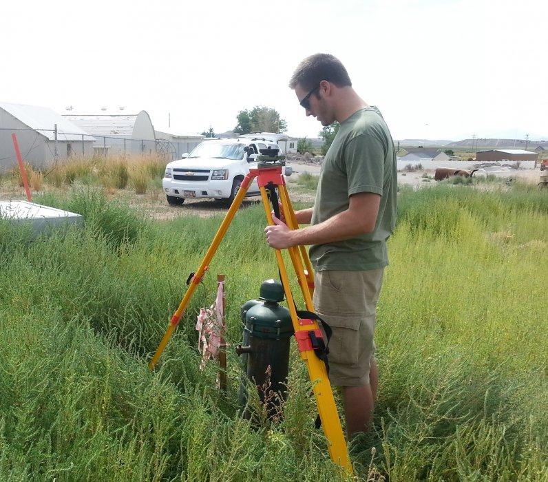
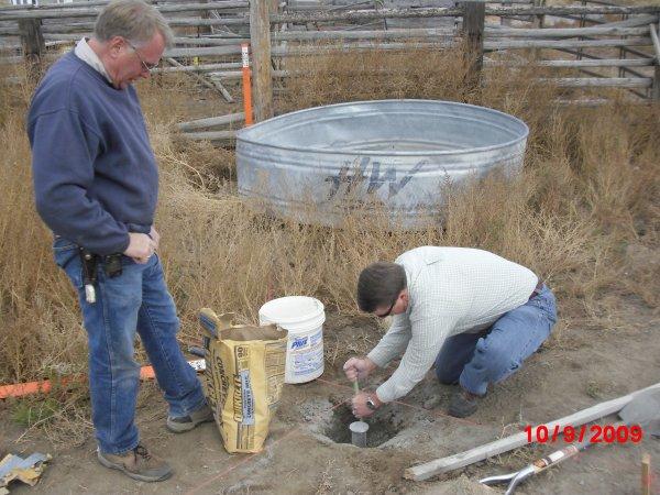
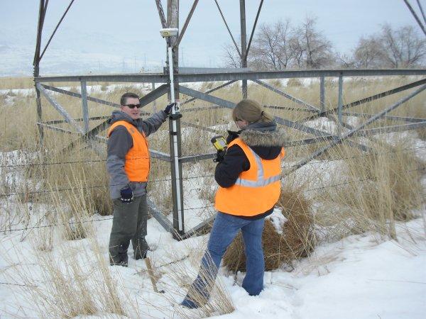
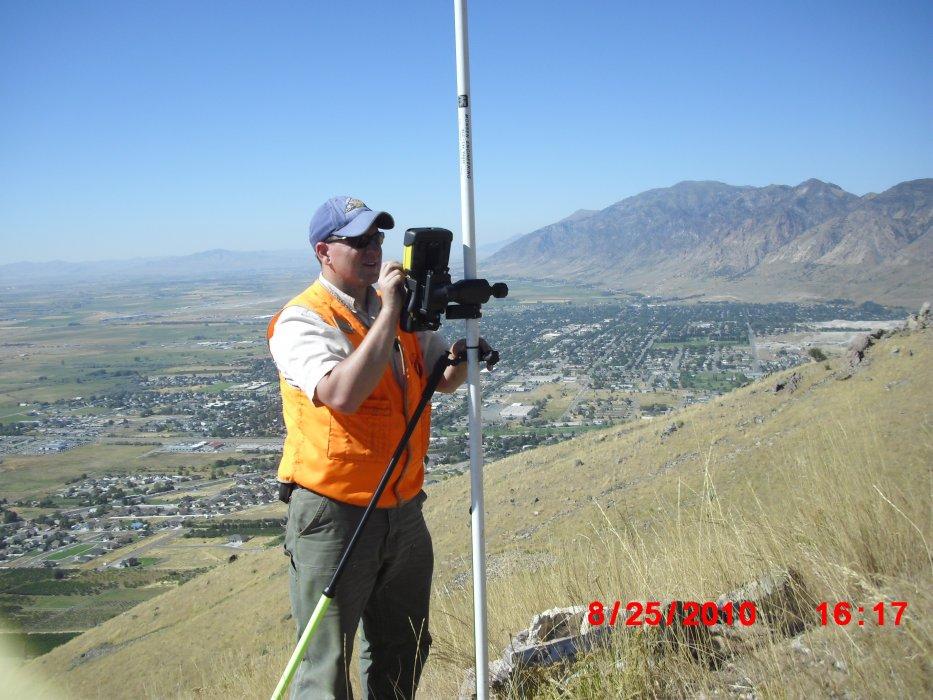
The Box Elder County Geographic Information Systems (GIS) department creates, manages, and maintains geographical information for the County. In simple terms, GIS can be looked at as computer mapping. We assist every department throughout the county in one way or another. GIS has become an important tool and helps in quickly visualizing relationships to enhance decision making, easily gather and collect data, and ultimately improve organizational integration.
The County's GIS information includes: Base data such as aerial imagery, LiDAR, and other base maps; Cadastral data such tax parcels, surveys, and subdivisions; Environmental data such as rivers, water bodies and land use; Administrative areas such as voting districts, zoning areas and emergency response districts; Transportation data such as road centerlines and street signs; Address points, and much more. This data is constantly updated and maintained by Box Elder County GIS personnel.
This website was created for the dissemination of news and some of Box Elder County's GIS information. With the advancements in GIS and technology, most of the data presented can be found through our interactive web maps but we still produce some paper maps and map books.